
The Bay of Plenty Regional Council (BOPRC) in New Zealand has expanded its use of Aquarius from a hydrology data management platform into a central system for environmental monitoring, bringing together data across water, air, coastal ecology, geothermal resources and water use.
With more than 9,000 monitoring stations, the council is using the platform to improve data quality, streamline field collection and make environmental information more accessible to regulators, researchers, farmers and the wider community.
From hydrology to environmental data management
BOPRC implemented Aquarius in 2014, initially to manage hydrological data including rainfall, groundwater, river levels and flow measurements.
As the council’s monitoring responsibilities expanded, so did its use of the platform. Aquarius now integrates discrete water quality data from LabWare, air quality monitoring data from Mount Maunganui, coastal ecology datasets, water use data and geothermal information.
Bringing these datasets into a central system enables BOPRC to analyse environmental conditions across different datasets and identify trends and relationships that may be difficult to detect when information is managed separately.
This has been relevant to air quality monitoring in Mount Maunganui. The airshed was designated as polluted in 2019 following breaches of New Zealand’s National Environmental Standards for Air Quality for particulate matter (PM10). The council can use monitoring data alongside information on industrial activity and weather conditions to support regulatory decisions and track changes in air quality.
Strengthening data quality and traceability
BOPRC has adopted the National Environmental Monitoring Standards (NEMS) quality coding framework within Aquarius, establishing a consistent approach to environmental data collection, validation and quality assurance.
The platform also connects datasets with supporting metadata, including field measurements, photographs, comments and measurement methods. Audit logs record corrections and changes to metadata, providing a traceable record of how data has been reviewed and updated.
The data review toolbox allows staff to compare raw and corrected datasets while maintaining the audit trail. This supports greater confidence in data used for regulatory decisions, analysis and public reporting.
Digitising field data collection
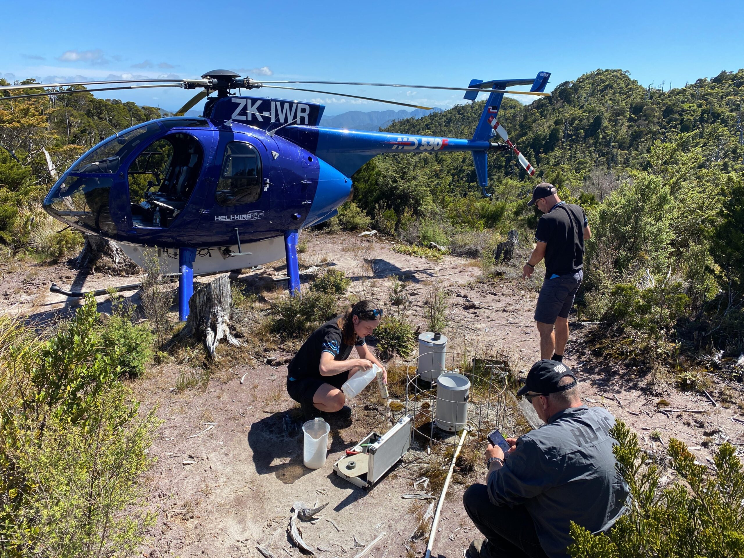
Since introducing Survey123 for field data capture in December 2020, BOPRC has been able to move information from field sites into its data management workflow more quickly.
Field teams can capture measurements, photographs and contextual observations directly during site visits, reducing reliance on handwritten records and manual transcription. The approach helps minimise input errors while ensuring supporting information is retained alongside the relevant monitoring data.
The council has also developed methods for incorporating qualitative observations into its geothermal monitoring datasets. Observations such as odour and water colour can be recorded as structured information and displayed alongside measured data as time series.
This allows BOPRC to analyse changes in geothermal features alongside parameters such as bore temperatures and fluid chemistry, rather than keeping observational information separately in spreadsheets.
Bringing different forms of environmental knowledge together
BOPRC is also exploring how Mātauranga Māori can be incorporated into its environmental data management practices.
The initiative recognises that environmental monitoring can encompass both quantitative measurements and qualitative, place-based knowledge. The council is investigating ways to represent observations and cultural perspectives within its data frameworks, alongside conventional scientific monitoring.

Expanding access to environmental data
BOPRC uses Aquarius WebPortal to provide public access to quality-assured environmental data. The self-service approach reduces the administrative burden of responding to individual data requests while giving external users direct access to information.
The council has developed reports for specific applications and user groups. Farmers can access information such as soil moisture and other agricultural indicators, while universities and research organisations can use the data for environmental studies.
For BOPRC, making data more accessible also creates a clearer link between environmental monitoring and decision-making by allowing stakeholders to view and interpret information about their local environment.
A central platform for growing monitoring demands
As BOPRC’s monitoring network and environmental responsibilities continue to expand, Aquarius is providing a central infrastructure for managing increasingly diverse environmental datasets.
The integration of measurements, field observations, metadata and supporting documentation gives the council greater control over data quality and traceability, while the web portal extends access beyond internal teams.
What began as a system for managing hydrological data has developed into a broader environmental data platform, supporting BOPRC’s work across water, air, land and geothermal resources.